
The High-Stakes Seasonal Assessment Challenge
For public works directors, civil engineering firms, and municipal asset managers, spring thaw (freshet) brings a high-stakes operational deadline. Rural municipalities maintain hundreds of distributed drainage structures across vast geographical areas. Ensuring road safety and preventing costly washouts requires a rapid, comprehensive culvert condition assessment program before high water flows arrive.
Consider a typical municipal scenario: a civil engineering team is tasked with assessing 200 rural culverts and small bridge structures across Leduc County, Alberta. The goal is simple—identify structural defects, evaluate hydraulic capacity loss, and prioritize emergency repairs before flood risks materialize.
The Pain Point: The "Three-Device Shuffle" and Photo Chaos
Historically, bridge and culvert field inspections rely on a fragmented, multi-device workflow:
The Field Disconnect: Inspectors juggle a dedicated handheld GPS unit, a rugged digital camera, and a paper clipboard in wet, muddy ditch lines.
The Un-Tagged Photo Mountain: A 200-asset program yields over 800 loose JPEG files (IMG_4012.JPG, IMG_4013.JPG). None of these files contain spatial asset context out of the box.
The Office Bottleneck: Back at the office, a junior engineer spends up to three weeks manually cross-referencing field timestamps against handwritten paper logs, renaming image files, and manually typing coordinates into a spreadsheet.
Data Integrity Risks: A single misplaced photo or transcribed coordinate error distorts municipal flood risk management priorities, potentially delaying emergency repairs on critical structures.
The aQRate Solution: Enforced Field Logic and Automated Asset Logging
aQRate replaces this disjointed playbook with a unified offline field data collection app running on a standard mobile phone/tablet.
Structured Mobile Forms: Field crews open pre-loaded asset records directly on their tablets. Required fields—such as structure type, diameter (mm), condition rating, and blockage percentage—ensure zero missed data points.
Mandatory GIS Photo Tagging: The mobile form enforces structured photo capture directly within the app (Inlet, Outlet, Barrel, Roadway). Every photo is automatically bound to the asset record with embedded spatial coordinates and time stamps.
Seamless Offline Operation: Field inspectors operate uninterrupted in cellular dead zones. The moment the truck returns to LTE or Wi-Fi coverage, the day’s dataset syncs to the cloud automatically.
Turning Raw Field Data into Actionable Executive Intelligence
Data collected in the field is seamlessly managed in the aQRate’s cloud platform, readily organized. Rather than wrestling with static spreadsheets, asset managers gain instant access to unified operational and strategic insights via aQRate’s AI-based Visualizations module that allows asset managers to create visual reports the way they want. Examples are:
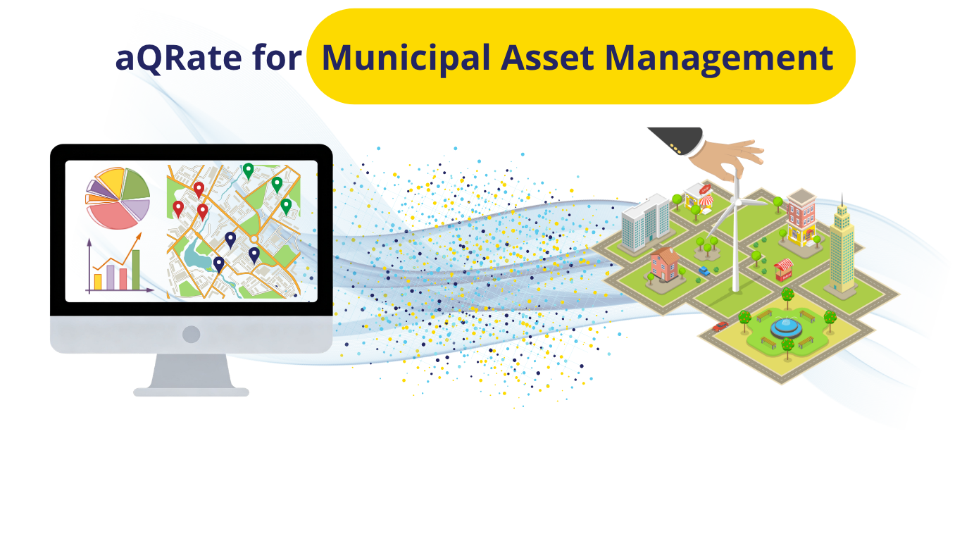
Interactive Spatial Asset Map: A WebGIS view plots all 200 assets with color-coded markers based on blockage severity. Public Works supervisors can filter by prescribed maintenance actions (Emergency Intervention, Flush & Repair) and click any pin to view complete inspection details and attached photo bundles.
👉 View the Interactive Spatial Asset Map Here!
Executive Flood Risk Dashboard: Program-level analytics summarize overall system health, highlighting that 6.0% of inspected structures represent critical flood risks (above 75 % capacity loss). Capital planning committees receive clear, data-backed evidence to justify emergency maintenance budgets.
👉 View the Executive Flood Risk Dashboard Here!
Quantifiable Impact: From Weeks to Minutes
By implementing aQRate as their primary municipal asset inspection software, civil infrastructure teams achieve measurable operational gains:
60% Reduction in Survey Data Handling: Eliminates manual photo renaming, file sorting, and paper form transcription entirely.
100% Spatial Data Integrity: Integrated GIS photo tagging software eliminates transcription errors and misattributed photo logs.
1-Click Audit Readiness: Instant generation of standardized PDF inspection reports or 1-click generation of customizable Visualizations that can include interactive maps, charts, graphs and overall KPIs.
Upgrade Your Municipal Inspection Workflows
Stop wasting engineering hours on manual photo-matching and paper data entry. Contact the aQRate team today to see how our field-to-report workflow transforms your bridge inspection workflow and asset management programs.